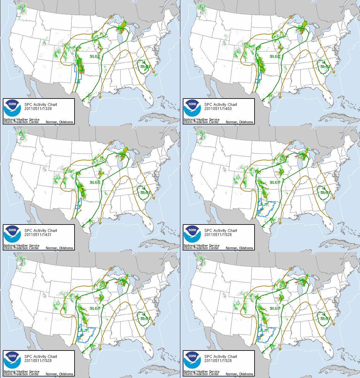
After a very violent two weeks of weather it is natural for a down time to occur. However, signs are beginning to show up that another vigorous storm is poised to move through the country next Monday through Thursday bringing severe weather back with it. We continue to run a highly amplified pattern of brief but strong warm surges to be followed by harsh, cold punches. The two factors will help make conditions favorable for severe weather next week. It should start in the western Plains Monday and last through Thursday on the Mid-Atlantic and East Coast.
This week is tranquil and cool so you should enjoy this brief respite. As referenced the other day this has similarities to May 2008, a month that was very active and this is also a second year La Nina with a growing colder Pacific Ocean. The ingredients are in place for massive clashes of the air masses to produce potentially violent weather. Timing and placement have to be ironed out over the next several days but keep an eye out for what could be evolving.
In the nearer term, some showers and very low-topped thunderstorms will dance through the region early Wednesday morning. With the mid levels being so cold any thunderstorm could produce small hail. The freezing level is quite low and if we had enough cold air to mix down to the surface, snow flakes could have fallen. We will be warm enough that this will not occur but it just goes to show how cold this air mass is. Temperatures tonight and tomorrow night will fall into the middle 30s, with possibly low 30s in very calm and sheltered areas. For planters and farmers that have planted some seeds keep a close eye tomorrow night to the temperatures. They should be safe but as terrible as the weather has been, any further delays should be avoided.
In the mid range a few showers and thunderstorms can be expected late on Thursday through Sunday. This system appears benign and there will be periods of dry weather each day but the area runs the risk of seeing a shower or thunderstorm every day so do not be alarmed if a shower or storm rotates through your locale. Temps over the weekend should hover in the 60s. So enjoy the tranquility of this week because next week is shaping up to be quite active once again.
Keep it here at www.myweathertech.com for the latest updates.
By Weather Specialist Josh Ketchen


