Olive Branch, Illinois; Courtesy of The Chicago Tribune
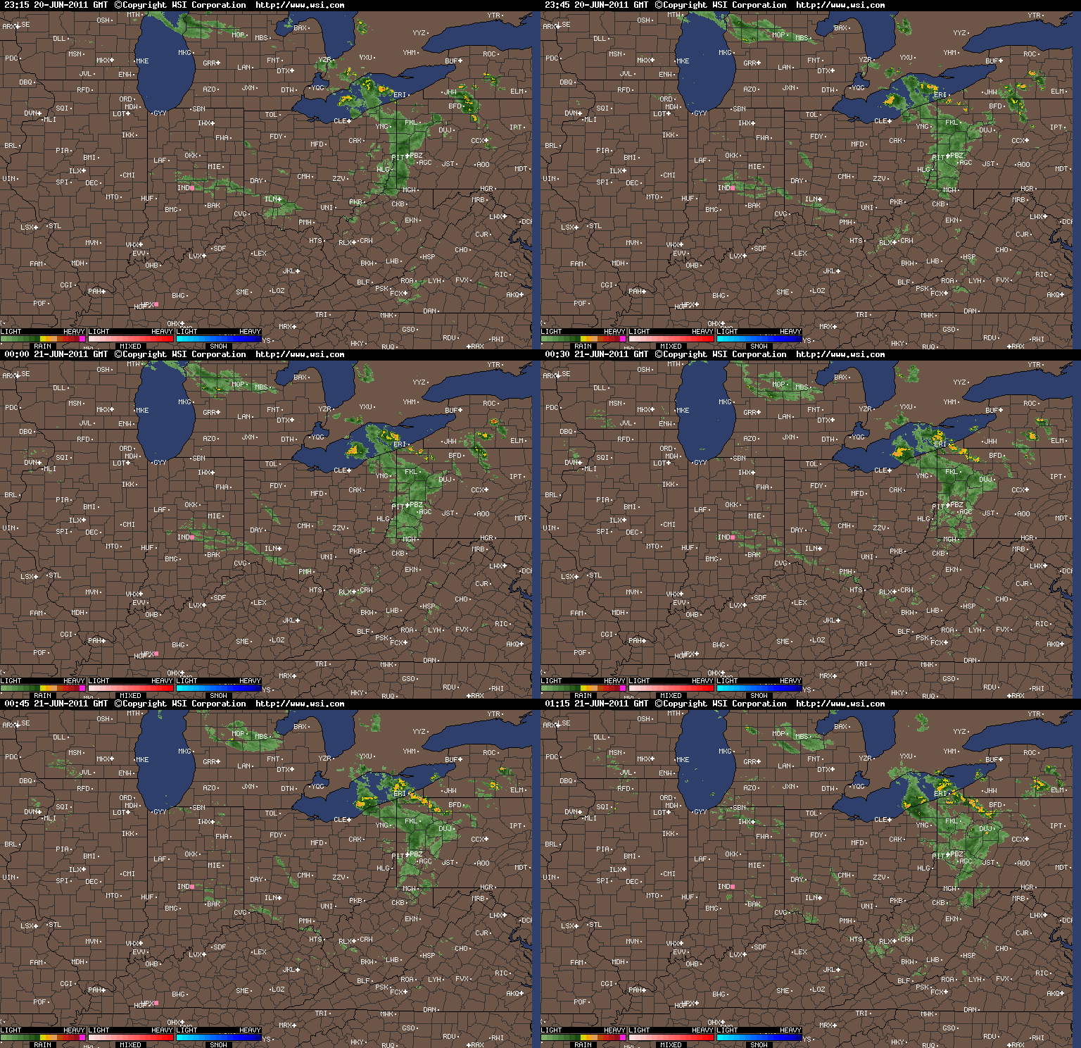
Cool and showery weather has taken control over the region for the next several days. Starting late Saturday night, a few scattered showers and thunderstorms traversed the area lingering into Sunday morning. On Sunday a few showers crossed the region before a steadier rain moved in during the late evening hours and continued into the morning hours. As we stand on Monday afternoon, another wave of rain is set to move into the region bringing with it more widespread shower activity. With the recent wet pattern it will not take much rain to cause some minor flooding in some spots but at this time it appears that major and widespread flooding will be confined to the southwest of the region. Areas along the Ohio River through southwest Indiana and southern Illinois and northwest Kentucky will not be that lucky as any rain will only aggravate rivers, creeks, and streams and increase the flood potential.
As we head into late Monday through Wednesday a few more waves of showers will push through keeping temperatures cool and conditions unsettled. If there is any positive side to this pattern, the severe threat is minor. After the major severe weather outbreak of April 16 through 18 and then the historic and deadly outbreak last week, that is not expected from this storm system. Taking a look at temperatures, temperatures that were in the middle to upper 60s over the weekend have cooled to the middle 50s now and Tuesday for the Ohio Valley will be downright chilly. Temperatures could stay below 50 degrees north of the Ohio River with only middle 50s to the southwest. With this being May the crisp weather will not be around long but expect temperatures to stay below normal for most of the week.
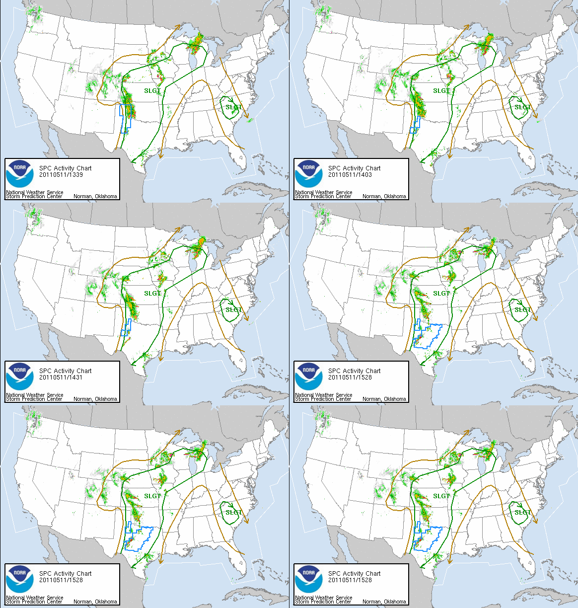
The rain threat should end by early morning Wednesday leading to a mostly dry day and that will last into Friday afternoon; however, by the middle of the afternoon into evening a renewed threat of showers and thunderstorms will push back into the region from southwest to northeast. With this current pattern it will be very difficult to go more than two to three days with completely dry weather. Saturday looks wet this coming weekend and Sunday is a wild card at this time for Mother’s Day. Being six days out it is too early to pin point exactly if and when the rain will fall but basing off the current pattern, a threat for rain has to be in the forecast. As the weekend draws nearer a better picture can be painted.
Courtesy of Accuweather
Long term patterns continue to set up a strong baroclinic zone between the very cold air to the northwest and increasing warm air to the south. Conditions appear to be such that the difference in the two air masses will keep this track right over the Midwest and Ohio Valley for frequent activity. A pattern such as this, when the next warm surge comes up from the South, heavy thunderstorms and severe weather are going to be a mainstay again, along with renewed threats of major to catastrophic flooding. Bottom line is that enjoy the cooler weather because it is bringing in less deadly weather because when the warming cycle begins anew the volatility will shoot right back up to where we have just went through. Over the last several years May has been the peak month for tornadoes around here and this year should fall in line with previous years. The best advice is to keep it here at www.Myweathertech.com for the latest updates.
By Weather Specialist Josh Ketchen


hello, quality article, and a fairly good understand! just one for my bookmarks.