After a relatively quiet week last week things are once again about to gear up across this part of the country. A brief summer surge of warmth is in store to greet us for a few days but along with the warmth comes another battle between a predominantly cold northwest flow pattern the area has seen for weeks. Indications are coming together that another front is poised to stall near the Ohio River again by late week and next weekend. As the week progresses forecasts can be fine tuned to see where the stalled front sets up. It is too early to know if excessive rain occurs but with the recent very heavy rainfall region wide, flood potential remains at the top of the list.
Ring of Fire Visual:
Courtesy of semissourian.com
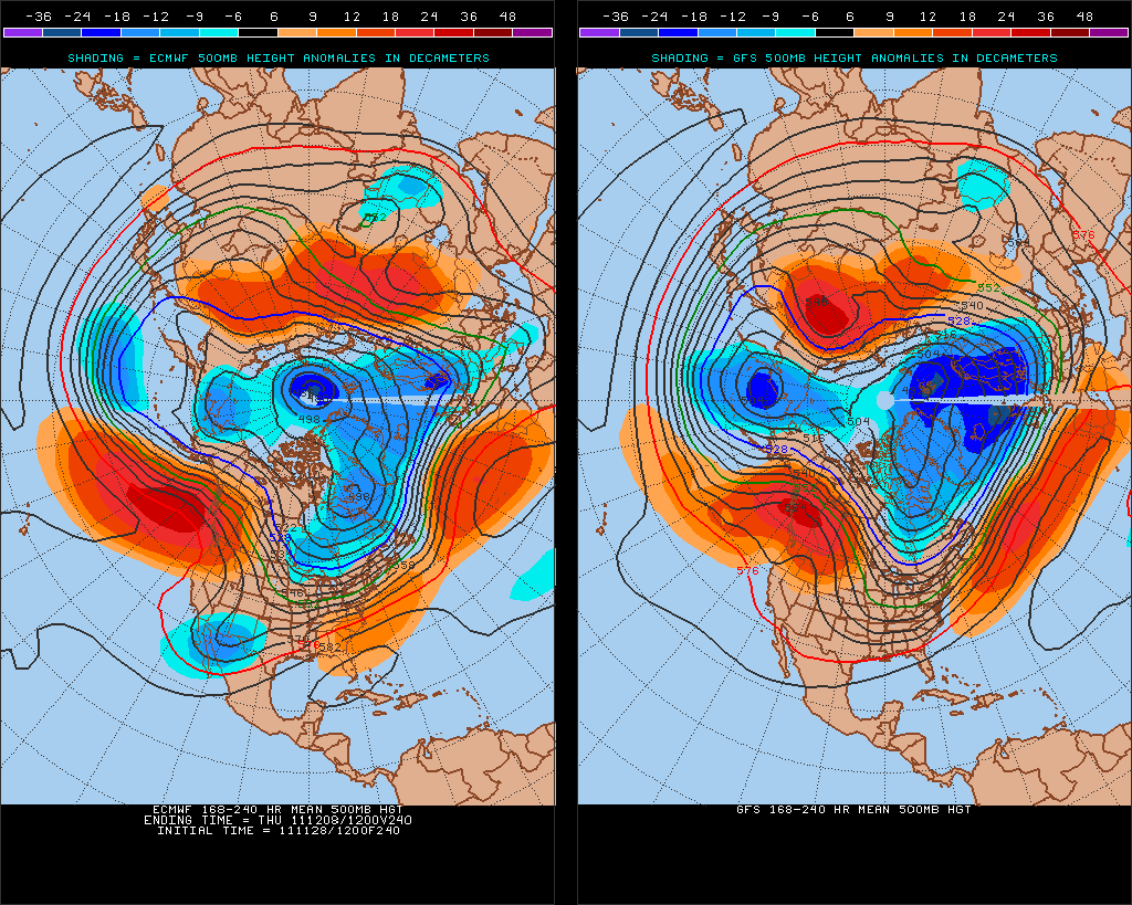
This is a upper atmospheric look to what a “Ring of Fire” pattern looks like from space.
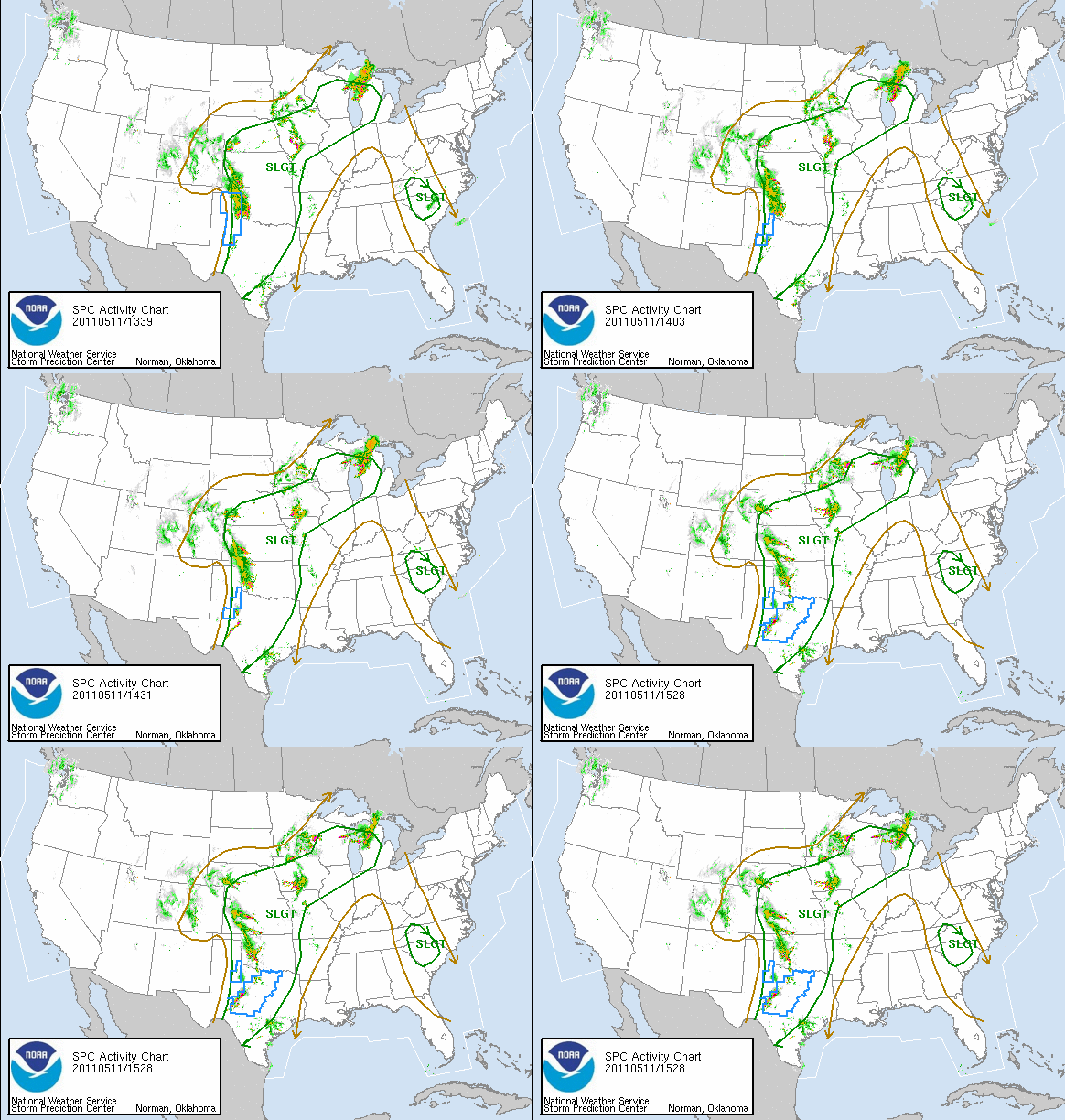
For Monday a ridge will build in the center part of the United States and push east on Tuesday and Wednesday. A subtle northwest flow will develop across the region. When you combine a strong upper level ridge and a northwest flow late afternoon and evening thunderstorms can develop. This will be the case late Monday and on the day Tuesday. With the cool flow from the north in the upper levels and the surging warmth at the surface, conditions can become ripe for severe storms with wind and hail and heavy rainfall. On Wednesday the high pressure will likely be close enough to prevent much thunderstorm activity as temperatures rise in the lower to middle 80s.
Courtesy of wdtn.com; Dayton, Ohio
However as the high moves off to the east on Thursday, return flow from the Gulf of Mexico will funnel moisture back into the region along with the threat of showers and thunderstorms.
Courtesy of examiner.com
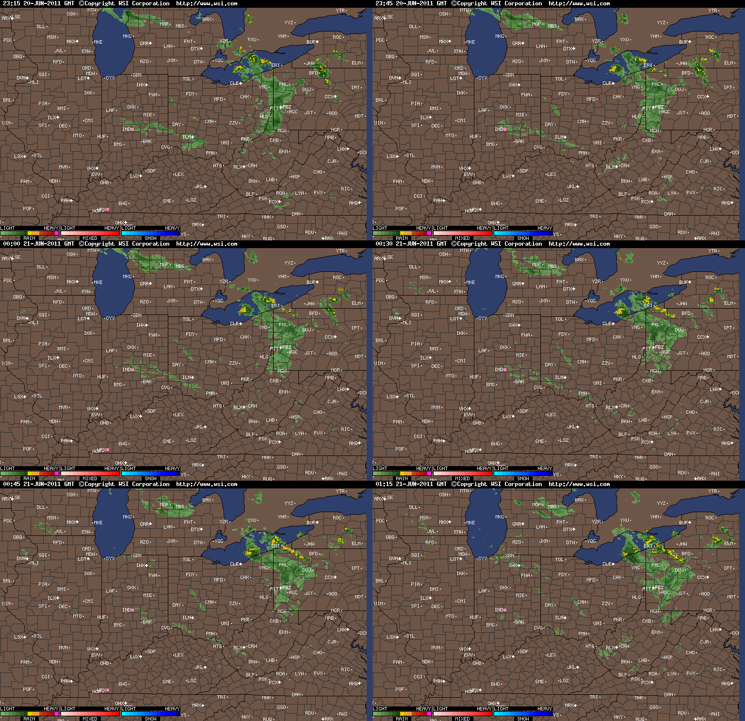
This image is what occurred a few weeks ago when we had the stalled front draped across the area. Even though this image will not be exactly the same, a similar pattern could result with the high off to the east and the front stalling in the region.
The question as we press into Friday and beyond is where will the cold front stall. Right now it appears the front is going to stall right along or just south of the Ohio River. With 80s and 90s to the south and 50s and 60s to the north, several waves of energy will move along the front kicking off showers and thunderstorms with each wave. With the flooding that has been severe in many locations in the southwestern Ohio Valley, the stage could be set for another serious flood situation to continue and possibly even enhance in certain areas.
At the onset, mentioning of a brief surge of warm weather is going to be just that, brief. Once the front and its associated low pressure pushes well east of the Ohio Valley cooler weather will rush back in.

Courtesy of Penn State E-Wall Maps
As this image portrays it shows a trough over the eastern United States at the beginning of next week, May 16. When this sets up in May, temperatures run quite a bit below normal and rainy conditions are common. The likely scenario is for an upper level low to be sitting in the general region and each time a ripple of energy rotates around this broad low showers and a few thunderstorms are generated.
Bottom line is to enjoy the next three to four days of mid 70s to mid 80s because once to late next weekend and beyond the Ohio Valley is going to go back into a chilly and showery period of weather.
By Weather Specialist Josh Ketchen


