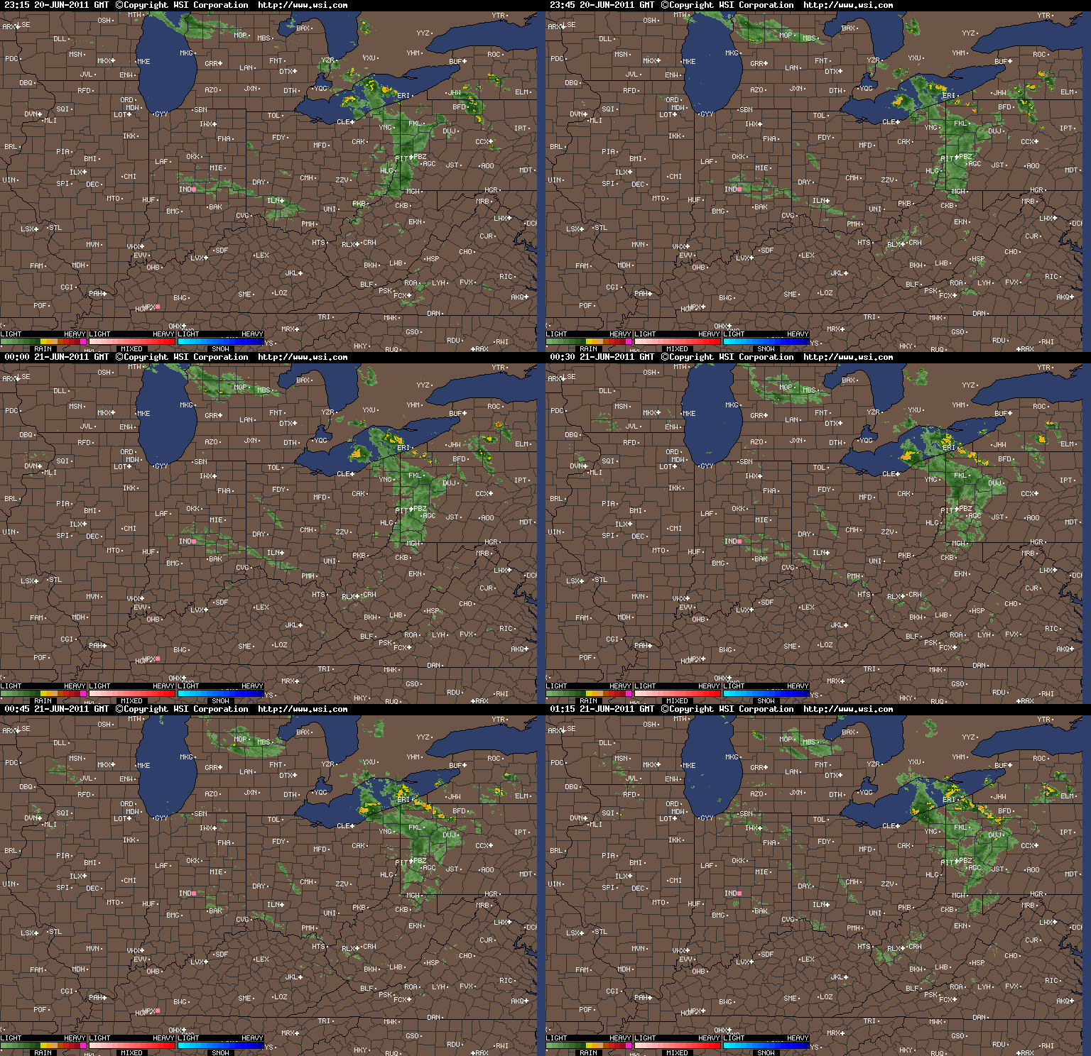
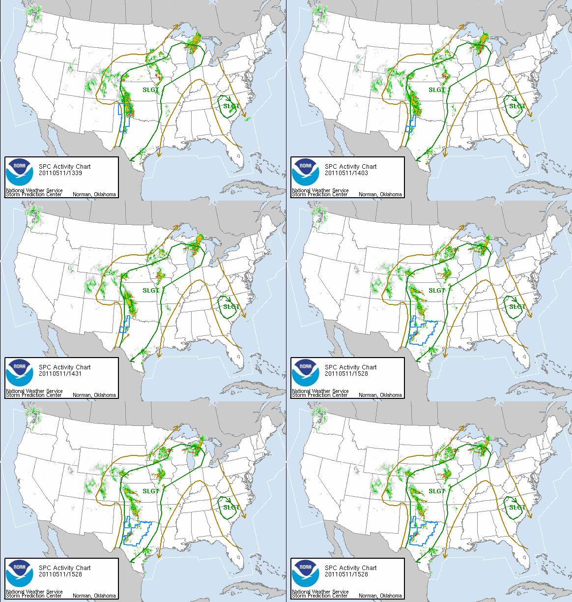
Another weak disturbance will rotate through the region Tuesday into the first half of Wednesday bringing with it a chance of light rain or light snow showers. Temperatures will also stay on the chilly side for the next several days. A rather dominant trough is hanging over the eastern half of the United States funneling in the cold air for late March. As long as this pattern holds expect chilly days along with weak storm systems every few days to reinforce the cold air. That brief Spring tease we had will not be coming back anytime soon.
For the Tuesday and Wednesday time frame highs should be in the low to middle 40s each day. Morning lows will bottom out in the upper 20s, therefore the chance of some slick spots in the morning on Wednesday. As we move into Thursday another weak disturbance will zip through increasing clouds but also keeping temperatures on the cool side.
Long range weather for the Whitewater and Miami Valley looks to be unsettled and relatively cool. A few pleasant days will sneak in from time to time but the relative trend is for the region to be absent of any prolonged Spring weather. For those who like active weather though, as we progress deeper into Spring the battle between cold to the North and warm and humid to the south should provide many storm threats.
Keep it at www.myweathertech.com for the latest weather updates.


Hi i am so pleased I found your blog, I really found you by mistake, while I was searching Yahoo for something else, At Any Rate I am here now and would just like to say thank you for a wonderful blog posting and a all round intriguing blog (I also love the theme/design), I do not have time to read it all at the right now but I have bookmarked it and also added your RSS feeds.